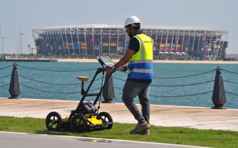
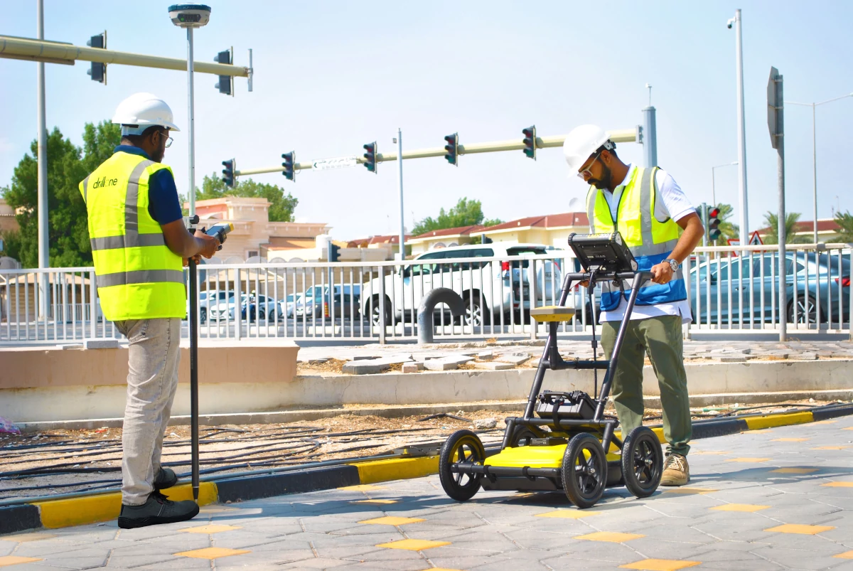
Construction professionals need to know about underground assets prior to digging and trenching ,GPR is a non - invasive geophysical process that employs radar waves to image the subsurface enabling the detection and mapping of underground structures , utilities , voids , and other metallic or non metallic features can detect the depth up to 8 meter depends up on the soil condition .
UTILITY MAPPING / SURVEY: Utilizing GPS equipment to accurately locate and map underground utilities , creating precise geographical data for their positions .It enhances the efficiency and accuracy of utility management and construction planning .


